This New Map Shows What Parts Of NJ Will Be Underwater Due To Climate Change
Something that's sure to trigger some sort of reaction from people is talking about Climate Change and the rising sea level.
Some people don't think it's a thing, others believe it absolutely is.

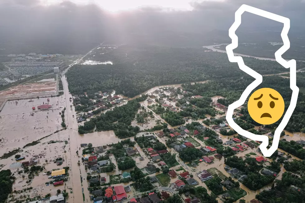
Regardless, what's interesting is seeing how Climate Change will affect our lives at the Jersey Shore should it go unchecked.
In fact, a new map has been released that shows what life at the Shore would look like should sea levels continue to rise, and if you've always wanted a waterfront view but live in the landlocked section of Toms River, you may be in luck.
What New Jersey Would Look Like If Sea Levels Continue To Rise
Honestly, it's kind of mind-blowing.
READ MORE: This NJ Shore Town Is One Of America's Best
According to Newsweek, it's predicted that the sea level will rise by at least 3.1 feet by the year 2100, and it's not out of the question to think a rise of 6.6 feet is possible.
With an increase of just 3.1 Feet, NOAA's interactive flood map shows that large parts of Seaside Heights are underwater, as well as portions of Toms River, Bayville, and Ocean Gate.
The map is pretty detailed, and it can be hyper-localized too so if you enter your own address on NOAA's Sea Level Map, it'll show you exactly what your neighborhood will look like should sea levels continue to rise.
My wife and I are getting ready to move to Ocean Gate in a couple of weeks and are excited because we aren't in a flood zone, however, if sea levels increase to 6 feet, most of our new town would be underwater.
Newsweek reports that 40 percent of Americans live within 60 miles of the coastline, so an issue like sea level rise affects hundreds and thousands if not millions of people.
Even now, Jersey is home to some pretty crazy weather events.
Remembering Tropical Storm Irenes Impact On NJ, 13 Years Later
Gallery Credit: Dan Zarrow
11 Items You Should Never Buy In A New Jersey Dollar Store
Gallery Credit: Buehler
More From 105.7 The Hawk


