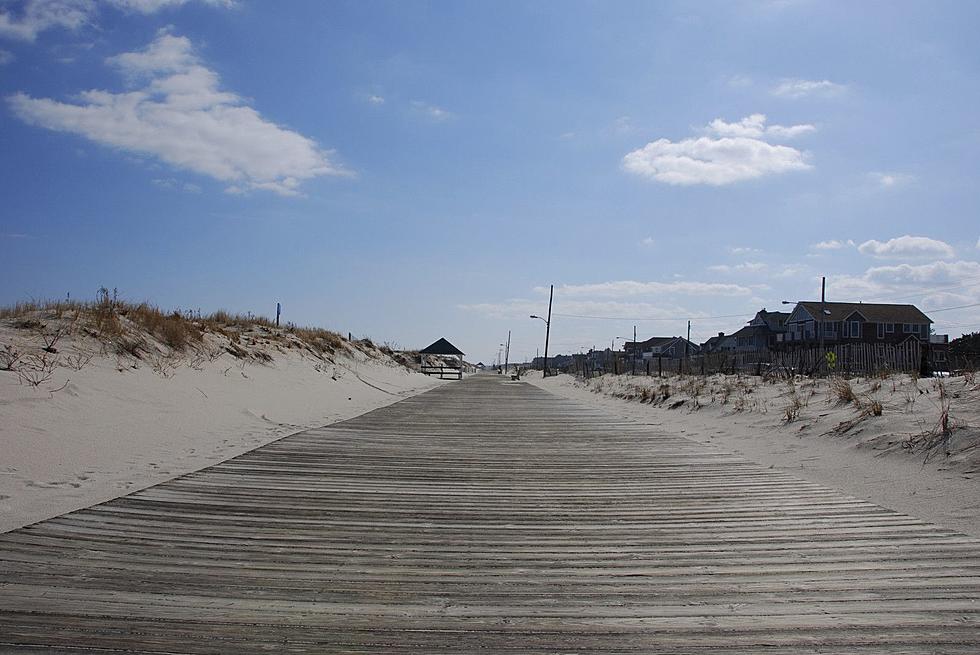
Wednesday weather: Angry ocean, few clouds, coolest day this week
In my personal opinion, Tuesday was a perfect weather day. I wish we could just "copy and paste" that sunshine and those 70s into every day of the year. Aside from being out of a job, that would make me very happy.
The quiet weather rolls right along, with high pressure dominating our weather for the next several days. In fact, our next chance of substantial, widespread rain won't come until Monday at the earliest!
Hurricane Humberto is making its closest pass to the Jersey Shore Wednesday, with the center located about 550 miles southeast of NJ. As we've discussed, weather impacts here in the Garden State will be minimal — really just a few clouds. I'm still including a sprinkle in the forecast too — since every forecast model includes at least a few raindrops, I simply can't guarantee a completely dry day.
The Atlantic Ocean will be angry throughout Wednesday too. A high risk of dangerous rip currents and rough surf is posted for the entire coastline, with 4 to 6 foot ocean waves expected. There is no reason to risk your life at the beach.
Wednesday will also be New Jersey's coolest day of the week. We're starting off with mostly 50s Wednesday morning. (As cool as 38 degrees in Sussex County!) High temperatures will be limited to the upper 60s to around 70 degrees, in the neighborhood of 5 to 10 degrees below seasonal normals.
As skies clear Wednesday night, it looks like perfect radiational cooling conditions will take over. That will allow for a pretty chilly night. I could see widespread 40s by Thursday morning (away from the coast and urban areas).
The rest of Thursday looks fine and fall-like, with sunshine and highs in the lower 70s.
A wind shift kicks in Friday, which will spark a noticeable warmup. We'll still enjoy mostly sunny skies and dry weather, as high temperatures make a run for 80 degrees to end the workweek.
And the weekend is looking great too! Skies will be partly sunny and weather will be dry for both Saturday and Sunday. Summerlike warmth makes a comeback, with highs pushing into the lower to mid 80s. (Some models have even popped out near-record 90-degree temps.)
Our next cold front will arrive on Monday. The timing depends on which forecast model you tend to believe. While the GFS model pushes scattered showers through the state during the day Monday, the Euro shows pockets of heavier, steadier rain Monday night. As always, we'll nail that down the impacts further as it gets closer.
More From 105.7 The Hawk


