Thursday NJ weather: No weather concerns through early next week
The Bottom Line
High temperatures will hover in the 40s for the next week, at least. There are three shots at precipitation in the short-range and long-range forecast: late-day Friday, Tuesday, and late next week.

Thursday
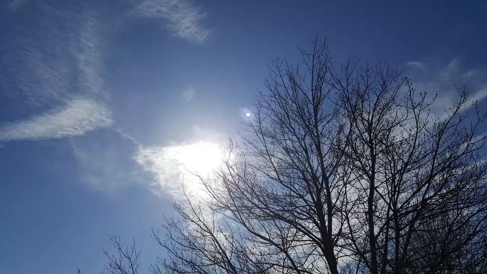
I think it's fair to call Thursday a nice January day. Crystal clear skies, bright sunshine, no humidity, dry weather, and high temperatures in the mid 40s. That is about 5 degrees above seasonal normals.
A blanket of clouds will slowly roll in from the south Thursday night. Even so, it's going to get pretty cold — quite possibly our coldest night since New Year's Day. My forecast puts low temps in the mid to upper 20s for Friday morning.
Friday
An area of low pressure passing to our south will produce upwards of a half-foot of snow and an inch of rain over North Carolina. At the northern edge of that storm system, we'll see some cloud cover and maybe a shower — but don't expect much.
Look for partial sunshine in North Jersey, with mostly cloudy to overcast skies in South Jersey on Friday. The best chance for a few snowflakes or raindrops clipping the southern coast will come late Friday afternoon through late night. (Again, it's a slight chance at best.)
High temperatures will come down slightly to the lower 40s.
Saturday
Sunshine resumes. It will be a bit breezy, straight out of the north. That's a cooling wind, limiting our high temperature to around 40 degrees. Definitely feeling like January.
Sunday
Mostly sunny and still seasonably cool, with highs in the lower 40s.
The Extended Forecast
Monday looks quiet. Then model guidance shows some degree of precipitation on Tuesday. There could be some wintry weather in play here, depending on timing. (High temperatures will be in the lower 40s.) The Euro is showing a much more impactful (i.e. snowy) solution than the GFS. But the Euro has performed pretty badly yet, so I'm not holding my breath for a big storm. Especially in this generally dormant, dry weather pattern.
As the atmosphere becomes more "wavy" late next week, things could become more active again. Our next chance for a big warmup, arctic blast, or significant storm system (or all of the above) will be somewhere in the Thursday-Friday-Saturday neighborhood. As I've been promoting, the midpoint of January — which is, on average, our coldest part of the year.
Dan Zarrow is Chief Meteorologist for Townsquare Media New Jersey. Follow him on Facebook or Twitter for the latest forecast and realtime weather updates.
The 10 Best Sunrises in Seaside Park
More From 105.7 The Hawk


