Thursday NJ weather: A very cold morning, then a warmup kicks in
The Bottom Line
After 24 hours of unseasonably frigid weather, thermometers will turn around nicely Thursday. We'll get 4 days and nights of above-normal temperatures, before our next storm system arrives at the tail-end of the weekend.

Thursday
It. Is. Cold. Period. Full stop.
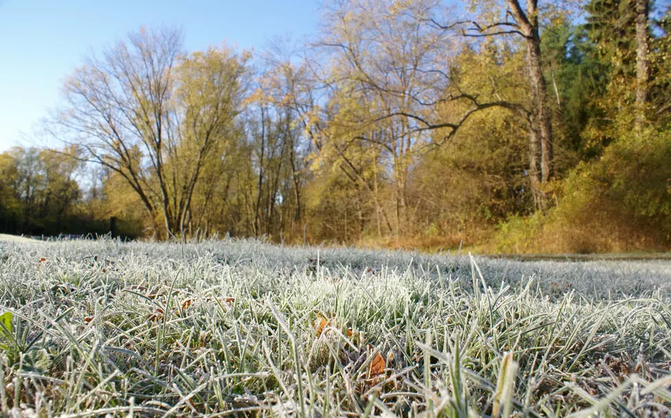
Temperatures on this Thursday morning have truly crashed into the upper teens and 20s. Even beaches and barrier islands are frozen. This is 15 to 20 degrees below normal for mid-November. It is our coldest morning since mid-February. And we are very close to record low temperatures — as of this writing, ACY missed out on tying the record by a single degree.
By about 10 a.m., temperatures should largely rise above the freezing mark. And we'll top out around 45 to 50 degrees Thursday afternoon. Better. Almost 10 degrees warmer than Wednesday. But still 5 degrees below seasonal norms.
The reason for the warmup? High pressure is shifting, and so will our wind direction — from northwesterly to southwesterly. That makes all the difference. Meanwhile, our air is very dry, and our weather will be too Thursday. You'll see a mix of sun and clouds overhead.
You'll really start to feel the effects of our warming trend Thursday night. As we only drop to around 40 degrees — cool, but not nearly as cold. Skies will be partly cloudy overnight.
Friday
Back to 60 degrees! With mostly sunny skies, it should be a beautiful day.
Saturday
More of the same. More sunshine, with some late-day clouds. High temps should push into the lower 60s.
Sunday
The timing of our next storm system — a strong cold front — has jiggled a little earlier. So Sunday will take a turn toward clouds and (eventually) showers. The timing of that rain is still very much uncertain amongst our medium-range forecast models. I'm not sure whether the best chance of raindrops will come on Sunday (per the GFS), Monday (per the Euro), or possibly both.
Because of the cloud cover and the potential for wet weather, Sunday's high temperature will decrease a few degrees, to the mid-upper 50s.
Monday & Beyond
Behind the cold front, temperatures will tumble on Monday, after an early high around 60 degrees. Models are not spitting out ferocious winds right now, but I think it's going to be breezy (at least) during that cooldown. Sun should emerge Monday afternoon.
Tuesday will be cool, in the 40s. Then we'll be back in the 50s for Wednesday and Thursday. Obviously, we're watching that piece of the forecast very carefully, as Thursday is Thanksgiving Day.
And it now appears we'll have to deal with one more storm system in that Wednesday-Thursday time frame, which could hamper holiday travel and/or outdoor dining plans. We're just talking about a period of rain here, as our atmosphere does not look to set up a snowy weather pattern through the rest of November. We'll further nail down the timing of that rain, and any potential cooldown/wind effects in the coming days.
Dan Zarrow is Chief Meteorologist for Townsquare Media New Jersey. Follow him on Facebook or Twitter for the latest forecast and realtime weather updates.
The 10 Best Sunrises in Seaside Park
More From 105.7 The Hawk


