Rain exits NJ Monday morning, nice warmup by Halloween
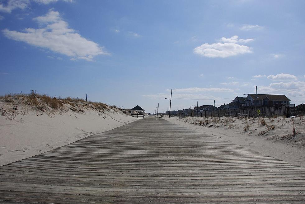
Let me begin today's edition of the weather blog by recognizing Monday is the 6th anniversary of Superstorm Sandy. At around 8 p.m. on October 29, 2012, newly downgraded Post-Tropical Cyclone Sandy made landfall near Brigantine. New Jerseyans will always remember "the storm that turned left".
On a brighter note, we have some pretty good weather ahead this week. A few bursts of wind, a few spits of rain, and a nice warming trend.
Monday morning is starting off damp, as rain moved through New Jersey overnight. There's still some patchy drizzle around, with additional showers to the west. So rain remains in the forecast through about midday Monday, and then we'll see breaks of sunshine into the afternoon hours. Meanwhile, winds are registering as gusty, up to about 30 mph out of the west-southwest. That breeze will lighten as the day goes on, becoming calm after sunset.
Monday's temperatures should rise from about 50 degrees in the morning, to the upper 50s to around 60 degrees by the afternoon. That just a hair below normal for late October (61 to 63 degrees).
As skies continue to clear, Monday night will be chilly. Thermometers will generally dip into the chilly lower 40s overnight. I suspect the usual cool spots (NW NJ and the Pine Barrens) will see frosty 30s by Tuesday morning.
A slight cooldown is expected for Tuesday, with highs limited to the mid 50s. Once again, only slightly below normal for this time of year. As long as you wear a jacket to cut through the cool air and the stiff breeze, you'll do fine. We'll enjoy sunny, blue skies.
Wednesday is Halloween, and the forecast looks great for trick or treating? Periodic sun and clouds and a light southwesterly wind will help temperatures reach the mid to upper 60s. Could be warm enough to forego the layers under the costume and/or jacket on top! (Of course, thermometers will start to dip after sunset, which occurs around 6 p.m. this week.)
The GFS model does show a shower teasing far North Jersey late-day, but I'm leaning heavily on a dry forecast for the vast majority of the state.
The warmest day of the week will be Thursday, as temps soar into the lower 70s! Balmy! That is at least 10 degrees above normal for the first day of November, and could be close to record high temperatures too. Skies will become mostly cloudy, and the warmth comes with wind — I've seen some indications that gusts could exceed 30 mph.
But that's the end of our late October-early November warmup. A cold front will drive some rain through New Jersey early Friday morning — just rain, nothing to write home about. Temperatures will cool throughout the day Friday, falling from the 60s in the morning into the 50s by the afternoon. Skies will remain cloudy, and there's no ferocious wind in the forecast at this time.
The early look at the weekend starts wet, with periods of rain and cloudy skies for at least the first half of Saturday (and perhaps longer). High temperatures will be back in the not-quite-seasonable mid 50s. As it stands now, Sunday will be the drier, sunnier, and warmer day of the weekend.
I still do not see a threat for significant snow through mid-November.
More From 105.7 The Hawk


