
NJ weather: When will the snow end, and what is coming next?
The Bottom Line
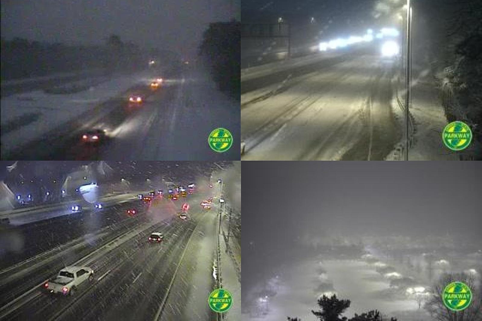
As of this writing (5:30 a.m.), it is a very snowy scene across New Jersey. Many spots across the state already have multiple inches of accumulation on the ground. And the roads. It sure is pretty to watch. But obviously not fun to drive in.
This fast-moving winter storm will not be an all-day affair. Snowflakes will exit by mid-morning, and we'll quickly clear to sunshine shortly thereafter.
As we look ahead at the weather forecast, there are three big weather headlines coming up:
1.) Friday and Saturday will be sunny, but cold and blustery at times.
2.) Our next storm system on Sunday will be primarily a rainmaker, but there will probably be some icy mix on the front end.
3.) Next week turns cold. Bitterly cold.
Friday: From Snowfall to Sunshine
The brunt of the storm, with heaviest snowfall, fastest accumulations, and lowest visibility will continue through about the 7 a.m. hour. And then final flakes will fly by 10 a.m. at the latest, clearing from west to east as the morning goes along.
We haven't received many snow reports just yet. (Observers are fast asleep in their beds, snuggling their rulers tight.) Some towns in "the sweet spot" were passing 4.5 to 5 inches just after 5 a.m. I think my forecast will ultimately verify pretty well, maxing out around 6 inches (give or take). My 2-4" estimation in NE NJ was probably too low. And the rain/mix never set up at the Shore, so snow totals east of the Parkway will end up on the high side, similar to neighboring inland communities.
Note: I do not update snow forecast maps once a storm has started. I find it "unfair" to make such last-minute changes. And it can also be quite confusing.
Let's look past our winter storm toward brighter weather. Sunshine should break out across New Jersey shortly after the snow ends for good. By Noon at the latest. Let the snow melt begin!
However, the rest of Friday is looking blustery — cold and windy. High temperatures will barely reach above freezing, in the lower to mid 30s Friday afternoon. Add in northwest wind gusts to 30 mph, and you'll want to stay bundled up all day for sure.
That degree of wind isn't necessarily damaging or concerning. But it could blow around the powdery snow and cause some drifting.
Here's Friday night's checklist. Fresh snow cover? Check. Clear sky? Yup. Cold, dry air mass? You got it. Ohh, temperatures are going to tank.
Away from cities and coast, thermometers will easily dip into the teens overnight. While the wind will lighten up considerably, any little breeze will bite. Wind chills will probably dip into the single digits at times.
Also, beware the refreeze Friday night. Anything wet — melt water, puddles, or otherwise — may turn to solid ice with the hard freeze overnight. And, as you may know, ice is rather slippery.
Saturday: Quiet and Cold
Just as winter storms are a regular sight in New Jersey in January, bright sun and unseasonable cold go together like peanut butter and jelly.
There won't be any weather problems on Saturday, other than the chill. Despite abundant sunshine and blue skies, high temperatures won't get past about 30 to 35 degrees.
Sunday: Slow-Moving Front
Our next storm system — NJ's fourth in a single week — will be a slow-moving cold front, rolling through New Jersey from Sunday late morning through Sunday evening.
The current temperature forecast favors a few hours of wintry mix as this one gets started, mainly northwest of the Route 1 corridor. The big concern here would be freezing rain. As we saw this past Wednesday, that can quickly lead to a dangerously icy situation. So we'll have to carefully watch the forecast through Sunday's midday hours.
Eventually, temperatures will warm into the 40s on Sunday, leading to just plain rain through the afternoon. I don't see anything heavy or dramatic once that happens. Just a quarter-inch of rain in the bucket by the end of the day.
Of course, on the other side of that frontal boundary is some cold air. Very cold air...
The Extended Forecast: Frigid
I hope you have your heavy winter gear ready to go, and that the heater in your home and car are in good working order. Arctic air will cause temperatures to nosedive for the first half of next week, running 10 to 20 degrees below normal for early January.
At least very cold air is also very dry air, and that means any threat of storms will stay away next week.
Monday's highs will only reach the lower 30s. With a stiff breeze and tumbling temperatures.
Tuesday looks like the bottom of the barrel. Afternoon highs only in the mid 20s? Most of the state could be stuck below freezing for 48+ hours. (Not unheard of here in the wintertime, but that doesn't mean we have to like such a cold snap.)
Wednesday should pop back into the lower 30s as we tap into slightly warmer air.
And then seasonable temps will hopefully return on Thursday. Near 40 degrees with partly sunny skies and the chance for a snow shower.
In other news in New Jersey, a ShopRite employee in Clark is recovering after police say a co-worker repeatedly plunged a long deli knife at least 13 times into her torso. She's been charged with attempted murder.
Lawmakers have approved extending Gov. Murphy's pandemic emergency powers for 45 days.
And Steve Trevelise listeners gave us a list of roads you should avoid whenever it snows.
Dan Zarrow is Chief Meteorologist for Townsquare Media New Jersey. Follow him on Facebook or Twitter for the latest forecast and realtime weather updates.
First flakes: When does snow season start in NJ?
Gallery Credit: Dan Zarrow
The Blizzard of '96 Revisited: Snow totals for every NJ county
Gallery Credit: Joe Votruba
More From 105.7 The Hawk


