NJ weather: Mild Friday, then mixing wet and warm for the weekend
I will warn you right off the bat that this is a complicated forecast, as a warm front dominates New Jersey's weather forecast through the weekend. (That is defined as the leading edge of a warmer, more humid air mass.) And, typical of warm fronts, it is set to deliver unsettled, wet weather followed by a brief, partial warmup. The timing of the rain and precise temperatures will be highly dependent on the exact position of that front. As a meteorologist, that leads to anxiety and uncertainty — I have to build in some wiggle room here. But hey, let's take a stab at the weekend timeline, shall we?
Your Friday morning is starting off about 10 degrees warmer than Thursday, in the 40s. A noticeable difference. But we're also starting off wetter, with some showers and sprinkles passing right through the middle of the state. Those raindrops won't last long, as New Jersey dries out around 8 a.m.
The rest of Friday looks fine. The northern half of the state (approximately north of Interstate 195) will clear to mostly sunny skies by Friday afternoon. The southern half of New Jersey will hold onto some cloud cover, but the day will get considerably brighter. I do have to maintain the chance for a stray late afternoon shower in far southern New Jersey (Cape May and Cumberland counties) — if anything pops, it will be light and geographically limited.
Friday evening will be quiet and mild. Overnight, skies will become mostly cloudy to overcast as low temperatures fall into the lower 40s.
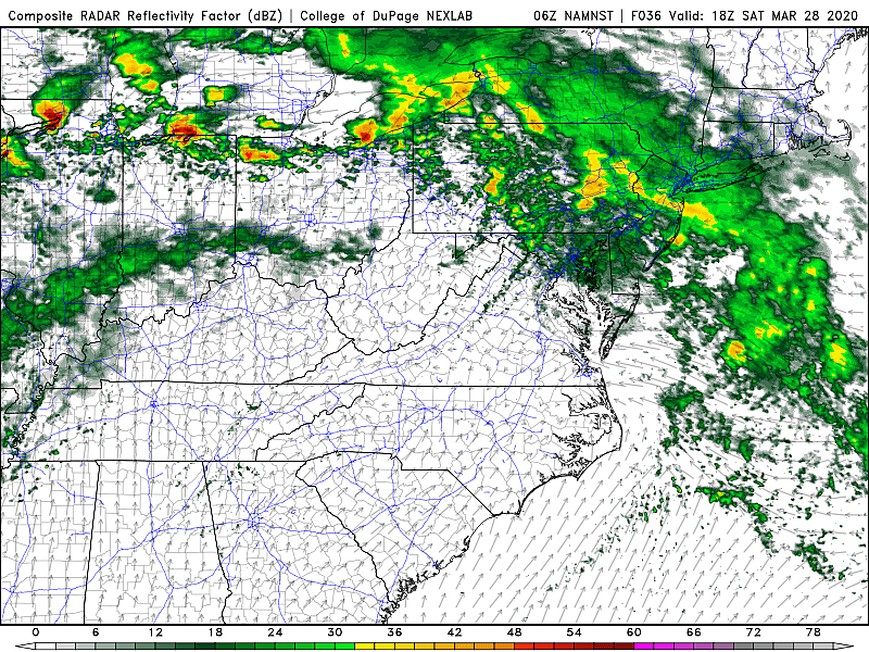
As the aforementioned warm front lifts closer to New Jersey on Saturday, we will see rain showers arrive Saturday morning. Periods of steady rain are expected almost all day long. I don't see anything particularly heavy, with rainfall totals ending up on either side of a half-inch. But it will be a cloudy and wet day overall — I believe it's fair to call it a probable washout.
High temperatures Saturday afternoon will only make it to around the 50 degree mark, as we remain on the cool side of that front.
Sunday will easily be the drier, warmer day of the weekend. That semi-pleasant outlook is comparative though — the forecast is not perfect. Lingering showers are possible Sunday morning. And one more push of showers and possible thunderstorms is likely sometime Sunday afternoon. As that warm front settles right on top of the Garden State, we'll experience a large temperature range. Highs will reach a seasonable 50 degrees to the north and a warm 70 degrees to the south.
I'm leaning toward a dry forecast on Monday. A mix of sun and clouds will join a stiff west-northwest breeze. High temperatures should settle in the mild lower 60s across the state.
The middle of next week looks a bit cool and unsettled once again. Models are hinting at a "backdoor" cold front on Tuesday — we call it that because it comes from the east instead of the usual west. That would introduce some clouds and showers, especially along the Jersey Shore. High temperatures will get stuck in the upper 40s to lower 50s.
An area of low pressure slides past New Jersey around the Wednesday time frame, bringing our next batch of widespread rain. (Maybe some snow to the north?) High pressure follows, which should lead to quieter, drier weather heading toward the first weekend of April.
Have a great weekend. Stay safe and be well!
Dan Zarrow is Chief Meteorologist for Townsquare Media New Jersey. Follow him on Facebook or Twitter for the latest forecast and realtime weather updates.
More From 105.7 The Hawk