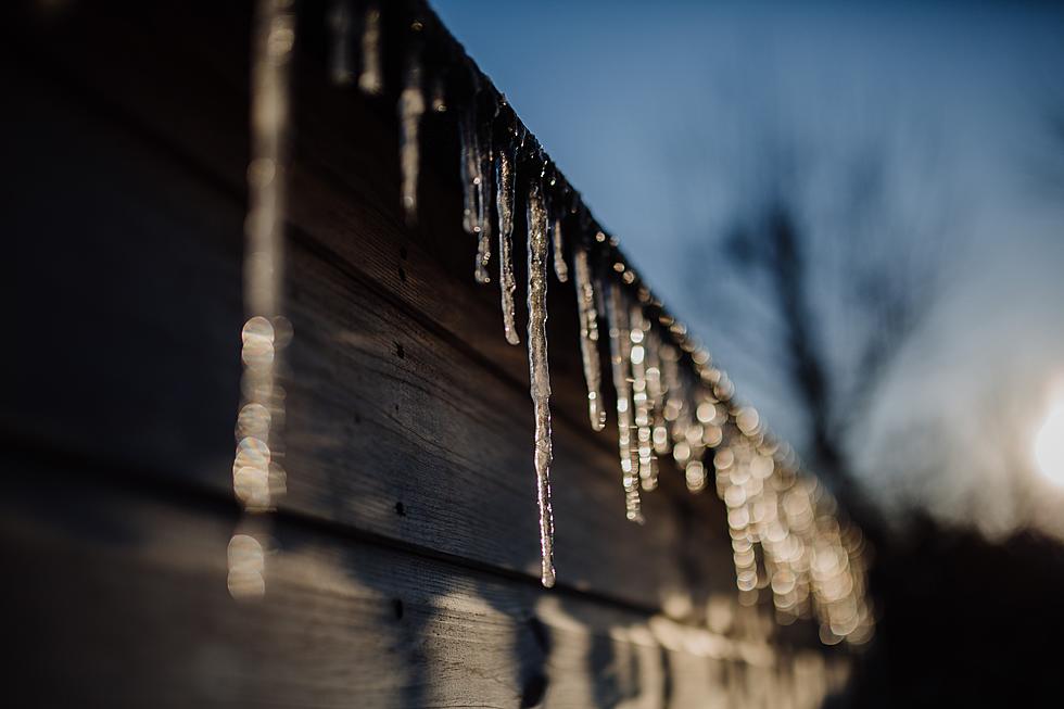
NJ weather: A brief warmup, then a rainy, icy, snowy, slushy mess
The Bottom Line
Welcome to February! On average, this is New Jersey's snowiest, driest, and 2nd coldest month of the year.
And to start the new month, it won't be warm, but rather warmer for the next three and a half days. A short break from the harsh arctic chill is certainly welcome.
But scanning the horizon, a slow-moving cold front will impact New Jersey's weather in the coming days. And the timing and impacts of that storm system have changed. A period of potentially soaking rain will precede a period of wintry mix (freezing rain, sleet, and snow).
Exact precipitation types and travel impacts will depend on how fast the eventual cooldown plays out. But there is a chance things could get messy on Friday, with snow and ice accumulations on the table.
Tuesday
Once again, it's a "bundle up" kind of morning across New Jersey. To the north and west, thermometers have crashed to near zero. For the rest of the state, we're averaging 20s.
Most of the state has been stuck below freezing since Friday, in the lead-up to our big weekend blizzard. Tuesday will be the turning point, as most of NJ pops above 32 degrees. Not by much, mind you - forecast highs are only in the mid 30s. That's still about five degrees below normal for early February.
Sunshine will mix with clouds as the day goes on, looking very similar to Monday. WInds will be light and the weather should stay dry. (One or two models try to push some sprinkles on-shore late-day, but it's hardly worth mentioning.)
Because of the surging warmth and moisture in our atmosphere, and due to the widespread snow cover, fog is a concern for Tuesday night. If conditions are just right, I wouldn't rule out some areas of dense fog through Wednesday morning.
If the fog is thick enough and if temperatures are cold enough, freezing fog is a possibility. Ohhhh, that term sounds so ominous. But it's really just a recipe for black ice. So if you see fog overnight, just watch your step.
Wednesday
Fog should mix out by around 9 or 10 a.m. And the rest of the day looks fine, although mostly cloudy.
I'm optimistic our warmup will continue. Although the warmth will be tempered by the snow cover, which does have a semi-significant impact on air temperatures. Current forecast puts highs in the mid 40s Wednesday afternoon. Not bad for early February.
Thursday
Here's where things start to get tricky again. First of all, Thursday should be another mild day, with most highs hitting 45 to 50 degrees. But our next storm system, a slow-moving cold front, will start to move in from the west Thursday morning.
Along that front, waves of energy will ride through the atmosphere, sending precipitation into (mainly) northern and western New Jersey. (So, away from the coast.)
Given the above-freezing temps, that scattered rain should take the form of plain ol' liquid rain. Keep in mind, however, that rain-on-snow can still cause a slushy, crunchy, icy situation, no matter the air temperature.
As Thursday night falls, the main forcing of the frontal boundary arrives. That will drive in a period of steadier, heavier rain across all of New Jersey. Latest model guidance suggests an inch or two of total rainfall. With all the water locked in the snowpack, and with snow/ice/debris blocking storm drains, there could be some minor ponding and flooding issues.
Friday
Temperatures will tumble again, as our next burst of arctic air arrives. The timing and speed of that big cooldown will directly impact precipitation type on Friday. If it's early and fast enough, a period of wintry mix (freezing rain, sleet, snow) may develop. If it's a slower "leak" of cold air, rain may substantially end before the changeover.
The worst-case scenario here is not good at all: An ice storm (mainly freezing rain and sleet) coinciding with Friday morning's rush hour. The GFS model favors moderate snow and sleet accumulation in North Jersey, with moderate icing through the heart of the state (away from the coast).
However, as we have already experienced once or twice this winter, it's difficult to squeeze out significant snow and ice accumulations from "overrunning" cold front events. The Euro model, for example, shows a much more realistic outcome with very little snow and ice. (Remember: By definition, cold air is dry air.)
So I'm not ready to ring alarm bells for an "ice storm". However, I am starting to talk about the potential for wintry mix and messy travel conditions on Friday. Because, as we know all too well, it doesn't take much ice to make things incredibly treacherous. If this one becomes a "thing," we'll start digging into specifics (including a totals/impact map) within the next 24 to 36 hours.
Whatever is falling from the sky should taper off sometime Friday afternoon. And then we'll settle back into cold conditions for the weekend.
It's worth noting that the high temperature forecast is really hard for Friday, again based wholly on the timing of the big cooldown. It's possible that we see 50s in the early morning, before the downward spiral. It's also possible that arctic air will start arriving before Midnight, leading to colder thermometers throughout the day. In either case, I expect temperatures to be close to the freezing mark by sunset Friday.
The Extended Forecast
Saturday looks sunny and blustery, with high temperatures only around 30 degrees. Stuck below freezing again (for most of the state, at least). Why do the arctic blasts always happen on the weekend?!
Sunday morning will be the bottom of the barrel for our next cold snap, with widespread single digit temps possible. Highs on Sunday will reach the mid 30s, with increasing clouds.
And then along comes our next next storm system, currently showing up in the Sunday night-Monday time frame. A deep clipper system will ride along the edge of that cold air. And if it swings close enough to New Jersey, a few inches of snow could fall and accumulate.
Yet another piece of this active stretch of winter weather. As always, we'll look to piece together more details (including whether it's even a "hit" or a "miss") in the coming days.
Dan Zarrow is Chief Meteorologist for Townsquare Media New Jersey. Follow him on Facebook or Twitter for the latest forecast and realtime weather updates.
Your photos: First blizzard of 2022 in New Jersey
Gallery Credit: New Jersey 101.5 users
The Blizzard of '96 Revisited: Snow totals for every NJ county
Gallery Credit: Joe Votruba
More From 105.7 The Hawk