Monday NJ weather: Two rounds of thunderstorms ahead this week
The Bottom Line
When we zoom out and look at the week as a whole, it’s going to be a springtime roller coaster. We’ll go from nice-with-rain, to beautiful, to stormy, to blustery, to seasonable. The two rain chances referenced in the headline are coming Monday and Wednesday.

Monday
Monday’s temperatures will be fairly similar to Sunday’s, ending up right around or just above seasonal normals. We’re starting out in the 40s, aiming for the mid 60s for highs. Sky cover will probably be about the same as Sunday too, with a mix of clouds and sun through the first half of the day.
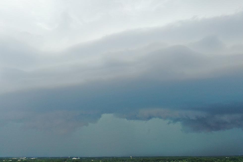
It won’t be a perfectly pleasant and dry day for all, however. A weak disturbance will ride up from the southwest between the midday and afternoon hours (11 a.m. to 7 p.m.). That will spark a round of showers and thunderstorms. The best chance for scattered rain will be along southern and coastal NJ. Only isolated blobs of wet weather are expected farther north.
So, nothing long-lived. Severe weather seems unlikely, although there could be some downpours and rumbles of thunder. And not everyone gets wet.
As conditions dry out Monday evening, skies will turn mainly clear and temperatures will be comfortably cool overnight. Low temperatures will once again dip into the mid 40s.
Tuesday
Other than mounting pollen concerns (sniffle, sniffle), I have no hesitation in calling Tuesday a beautiful spring day.
Look for lots of sunshine, with some late-day clouds building. The day should be completely dry. And it will be breezy - up to 20 mph out of the southwest - which will warm up everyone but the Delaware bay shore. High temperatures should shoot to around 70 degrees.
Clouds will roll in Tuesday night, leading to slightly warmer overnight temperatures. We’ll only fall off to around 50 degrees by Wednesday morning.
Wednesday
Another storm system - a strong cold front - will make for an overall turbulent weather day. The day will start mostly cloudy. And then a round of thunderstorms is likely, around the midday hours. These storms could be on the strong side, with some gusty winds and pockets of heavy rain involved.
High temperatures will be directly impacted by the timing of the front and the rain. For now, I expect thermometers to hit around 60 degrees. The later the storms, the warmer the temperatures, and therefore the stronger the storms.
Behind the front, we’ll have an unseasonably cold air mass drag down from the northwest. Wind gusts to 40 mph will be possible into Wednesday night.
Thursday
Blustery and chilly.
As that cold air arrives, a widespread frost (< 37 degrees) or freeze (< 32 degrees) is likely for Thursday morning, away from the coast. Despite sunshine, we’ll only see a high in the lower 50s Thursday afternoon. That is about 10 degrees below normal for late April. And about 20 degrees cooler than Tuesday, our warmest day of the week. Bundle up!
The Extended Forecast
Our weather will largely settle down as we head into the final weekend of April.
Friday will be sunny and breezy, with more seasonable temperatures in the lower 60s.
We’ll be closer to 70 degrees on Saturday, with increasing clouds. If this forecast holds, it will be another fantastic spring day.
Sunday, however, looks wet again. A slow-moving storm system is modeled to track right over New Jersey during the daytime hours. That would result in over an inch of total rainfall for most of the state. Along with thick clouds and cooler temperatures, of course.
That soggy Sunday forecast isn’t a slam dunk, so don’t go canceling your outdoor plans just yet. As always, we’ll firm up the timing and impacts of that storm system as it gets closer.
Dan Zarrow is Chief Meteorologist for Townsquare Media New Jersey. Follow him on Facebook or Twitter for the latest forecast and realtime weather updates.
Strange NJ Laws You've Never Heard Of
More From 105.7 The Hawk