Friday worst-case scenario for NJ: Heavy rain, dangerous flooding
The Bottom Line
Rain, rain, rain. Yet again, New Jersey gets soaked on Friday. Periods of rain are expected all day.
In addition, we have to ring more serious alarm bells for flash flooding Friday, for two good reasons:
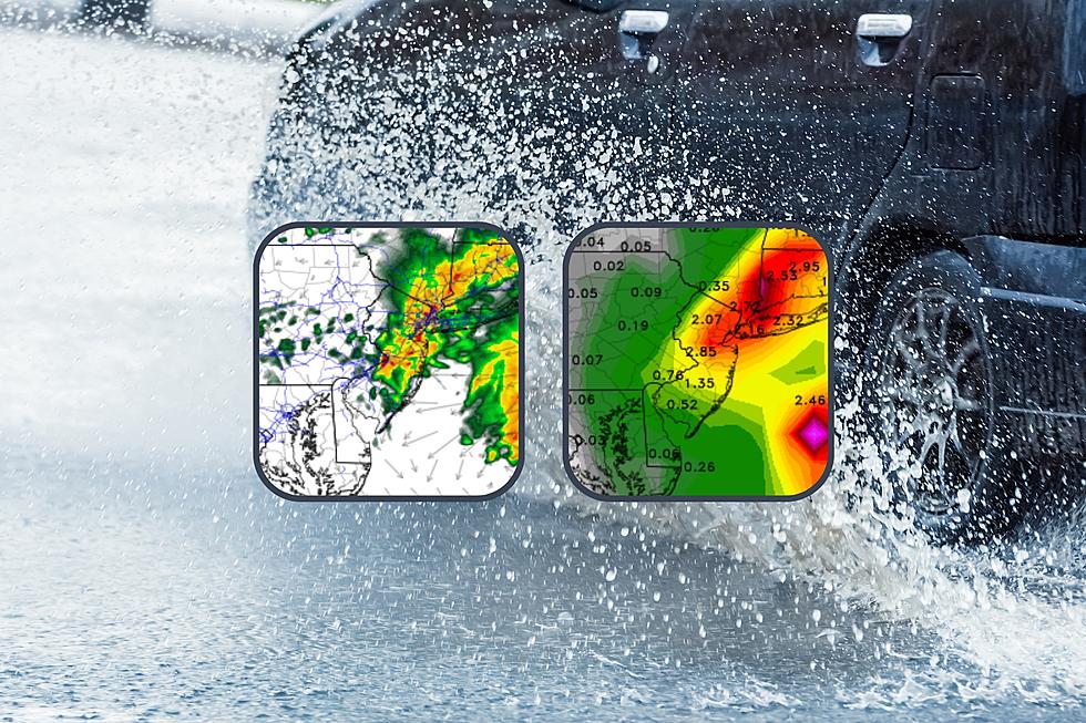
1.) Torrential downpours are likely, especially along the northern and eastern edges of the state. 2+ inches of rain seems like a good bet. Some models go even higher.
2.) The ground is still saturated from last weekend's heavy rain. This has been one of the wettest Septembers on record for most of NJ.
Friday will be wet. Then we'll dry out Friday night into Saturday morning. Skies will start to clear Saturday afternoon. Sunday and beyond look drop dead gorgeous.

Friday
At the very least, wet. At worst, significant flooding is possible.
Periods of rain will last pretty much all day. Sure, there might be some breaks of dry weather. But I would not count on it. It's going to be a wet day, no matter where in the state you are.
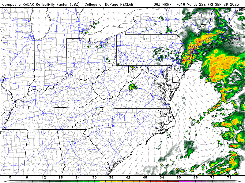
Rainfall totals in SW NJ will be rather unimpressive, around a half-inch. However, to the north and east, 2+ inches is likely. (That is not really a stretch — parts of the Jersey Shore have already passed 1 inch for the day.)
Now, if it really pours, those totals may soar even higher — some models show 6+ inches around NE NJ. That is a lot of rain.
But let's be level-headed here. NoteveryoneVery heavy rain may leave to significant flooding issues along the northern and eastern edges of New Jersey on Friday. (Accuweather)
Meanwhile, it will be cloudy and miserably cool. Temperatures will be stuck right around 60 degrees from morning to afternoon.
Unlike last Saturday, wind will not be a significant issue Friday. Gusts over 20 mph will be in the "breezy" range.
Severe weather is also unlikely. There could be a few rumbles of thunder along the way, but that should be it.
Coastal flooding has been a concern all week. And it still is, with minor category flooding of tidal waterways at high tide again Friday. A Coastal Flood Advisory is in effect for the entire coastline.
Rain will start to scale back Friday evening, both in intensity and in spread. It will still look and feel wet though. Low temperatures will dip into the 50s.
Saturday
Showers may linger through Saturday morning. Most likely, we will start to dry out starting around mid-morning (8 or 9 a.m.) It is worth mentioning that some models do paint a few raindrops until midday (Noon or 1 p.m.)
We will continue to see gradual improvements through Saturday afternoon, which does look dry. I would not expect much sunshine, but skies should brighten as the day goes on.
Temperatures will respond to the improving weather conditions, by rising into the mid 60s. Still below normal for late September. But we're getting there.
Sunday
The first of October will deliver a much brighter, warmer, happier weather pattern to New Jersey.
Skies will turn sunny Sunday, allowing high temperatures to push into the mid 70s. A little cooler than we have suggested previously, but still a beautiful day from start to finish. No rain, light winds, low humidity.
The Extended Forecast
The beach weather will continue through most of next week. My latest forecast has sunshine and near 80-degree temperatures for Monday and Tuesday. Wednesday and Thursday look mostly sunny too, although an on-shore breeze could cool temperatures a bit at the Jersey Shore.
Next storm system does not approach until late next week. Rain is a possibility for next weekend, unfortunately. But still lots of time to sort that out.
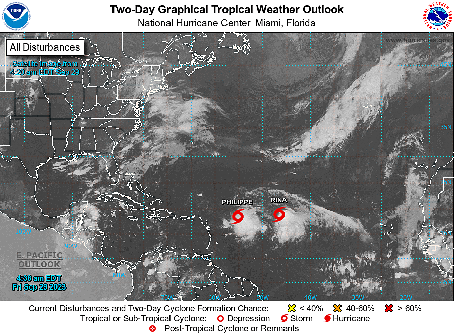
Meanwhile, in the tropics, we now have Tropical Storm Philippe and Tropical Storm Rina. They are snuggled up less than 500 miles apart from each other. In a less-than-stellar environment, and stifling each other, it does not look like either storm will pose a serious threat to land.
The Atlantic hurricane season officially runs through the end of November.
BEEP BEEP BEEP: These are the 13 types of Wireless Emergency Alerts auto-pushed to your phone
Gallery Credit: Dan Zarrow
Dan Zarrow is Chief Meteorologist for Townsquare Media New Jersey. Follow him on Facebook for the latest forecast and realtime weather updates.
Tropical Storm Ophelia's Impacts in Ocean City
Gallery Credit: Chris Coleman
More From 105.7 The Hawk