
Cold air has arrived in NJ – Friday will feel like mid-February
New Jersey's first snowflakes of the season flew Thursday night in Sussex County, while most of the state just got wet. Now the door has been opened to some truly cold air. While it won't be extreme cold or dangerous cold, it's certainly unseasonable and uncomfortable.
As of Friday morning, temperatures have dipped into the 30s for most of the state, with some upper 20s in North Jersey. Not quite a hard freeze, but it's cold enough. Friday afternoon's high temperatures will range from the upper 30s (north) to lower 40s (most of NJ).
Let's add some context to those high temperature numbers:
—16 to 18 degrees colder than Thursday.
—16 to 17 degrees colder than normal.
—This would be seasonable (near-normal) around Christmas Day (late December) and Valentine's Day (mid-February).
—Friday and Saturday will easily be the Garden State's coldest days since March or April.
It's going to be blustery too. (Although I did tweak my wind speed forecast downward slightly.) Northwesterly wind gusts to 25 or 30 mph are likely, peaking around midday Friday. That wind will add an extra bite to the cold air, for sure. At least we'll stay sunny and dry all day too.
As the wind calms down Friday night and skies remain clear, it is going to get even colder. We'll see widespread temperatures in the 20s by Saturday morning. Teens are possible in NW NJ. That is a hard freeze, meaning any wet surfaces will ice over.
It will also be the first freeze of the season for urban northeastern NJ — a Freeze Watch has been issued for eastern Essex, Hudson, and eastern Union counties.
Of course, there is another important question... Will we break record low temperatures overnight? Eh, it will be somewhat close — here's the rundown...
—Newark... Forecast low: 27°... Record low: 23° (1976)
—Trenton... Forecast low: 24°... Record low: 22° (1995)
—Atlantic City... Forecast low: 23°... Record low: 17° (1967)
Bottom line — Bundle up!
Saturday will be cold too, although winds will be lighter. Most highs again will reach only the lower 40s. Skies will progress from sun to clouds. The NAM models are suggesting a little sprinkle or flurry around midday Saturday — but I'm leaning toward a dry, problem-free forecast given our extremely dry air.
A weak little impulse is expected to slide through New Jersey's atmosphere Sunday morning, between about 4 a.m. and 10 a.m. A quick rain or snow shower is possible anywhere in the state (especially in North Jersey). The rest of your Sunday will be partly sunny and a bit warmer. Look for highs improving to the upper 40s (north) to lower 50s (central) to mid 50s (south).
Monday is Veteran's Day, and it looks fairly uneventful during the daytime hours. Skies will be mostly cloudy. Our warmup continues, with highs in the seasonable upper 50s to lower 60s.
Our next storm system is a cold front, forecast to arrive early Tuesday morning. We've been watching this one for several days now, and I'm not convinced long-range models have settled on a confident solution. As it stands right now, I'm seeing a quick hit of rain, potentially changing to snow. That changeover is not a guarantee, but it's fair to think that light accumulations (on the order of an inch or maybe two) are possible. The most impactful period in the current outlook would be the first half of Tuesday.

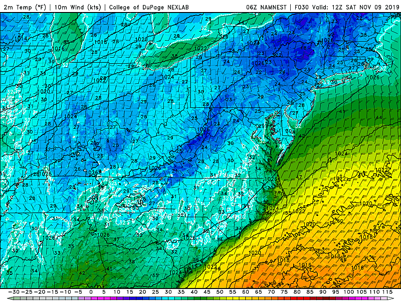
A period of rain may switch over to snow as temperatures drop. (College of DuPage Meteorology)
However, at 5 days out, this is still an uncertain, volatile forecast. There are four important considerations I'll be tracking through the weekend:
1.) Current models show only the cold front providing the lift for precipitation, with no low pressure sliding along the front. If such an impulse does develop, it would significantly extend (time-wise) and intensify (impacts/totals) any inclement weather.
2.) Previous runs of the GFS in particular have shown snowfall totals (raw model output) as high as 8 inches. Wow, that would obviously be a more impactful end result. We can't rule out guidance sliding back in that direction at some point.
3.) Everyone clamors about sun angle and soil temperatures when discussing early-season snow. It's certainly something we'll consider in our analysis of this storm system. But I have learned that heavy-enough snowfall and cold-enough air temperatures can easily overcome those barriers.
4.) As usual, it's all about timing and temperatures. Any time there is a potential transition involved (from rain to snow, in this case), the forecast becomes exponentially more complicated. How long will it rain? How long will it snow? Will there be a period of wintry mix? Or icing?
So for now, we remain in worth watching mode. I'll provide web and social media updates throughout the weekend, as this forecast continues to evolve. If things are still looking messy by Sunday, we'll ramp up our coverage accordingly. (Remember, I will only produce and publish a snow map within 48 to 72 hours of snowfall start time, and only if 2+ inches of snow is expected.)
What is certain? Behind that strong cold front, the door will open to even colder air for the middle of next week. Temperatures tumble through the day Tuesday. And then parts of New Jersey could get stuck below freezing all day Wednesday. That would be unseasonably cold even in the dead of winter.
Dan Zarrow is Chief Meteorologist for Townsquare Media New Jersey. Follow him on Facebook or Twitter for the latest forecast and realtime weather updates.
More From 105.7 The Hawk


