A precarious snow-ice-rain situation for NJ Monday-Tuesday
New Jersey's very active weather pattern resumes on Monday, as our next storm system arrives. Unfortunately, this is the kind of complex winter storm that causes uproar and revolt against your friendly neighborhood meteorologist. Literally a few degrees on the thermometer will make all the difference between snow, freezing rain, and just plain wet weather.
Sunday: Blustery
Well, at least Sunday looks fairly quiet. Skies will be partly sunny, with high temperatures in the mid 40s. You might encounter a few showers, sprinkles, and/or flurries as the day presses on. Most prominently, we'll contend with a brisk westerly wind, with potential gusts over 30 mph. That's it.
First Flakes: Monday Morning
Our next weather-maker arrives from the west on Monday morning. (This is a slightly earlier arrival time than we had discussed previously.) Temperatures should be cold enough in the first phase of this disturbance for mainly snow to fall over the Garden State. Snowfall intensity should be light to moderate — it will take some time for our (dry) atmosphere to moisten up. Yes, there could be some slow accumulation as the day goes on. (More on exact amounts later.)
You might encounter slippery spots and reduced visibility. The best chance of wintry weather on Monday will be between the NYC and Philadelphia metro areas — let's call it from around the AC Expressway to Interstate 78. (South of that may end up too warm for all snow, and north of that will likely fall out of the initial band of precipitation.) Debilitating blizzard? No. Winter weather day? Sure.
The Big Question: Precipitation Type
It's a warm nose in action! One of my favorite meteorological terms to talk about, given the fun name. But it's one of my least favorite to forecast.
Wintertime precipitation is almost always a tough call. Snow, sleet, and freezing rain each require a very specific set of required temperatures (both at the surface and up in the atmosphere). And as I mentioned earlier, a degree or two often makes all the difference.
Once Monday evening descends, warmer air will start to bubble up from the south. If you're in far southern or coastal New Jersey, you will feel it to an extent — as thermometers rise into the 40s, you'll likely see a transition from light snow to light rain.
However, throughout the entire state, the warmup will be most pronounced about a mile above the earth's surface. Warmer air will nose in above a layer of colder air (temps in the 30s) close to ground level.
Imagine a little snowflake falling through the sky in this kind of a warm nose atmosphere. When it hits that layer of warmer air, it melts into a regular raindrop. And then upon encountering cold air again for the rest of it's descent, it could either 1.) freeze solid (sleet), or 2.) freeze upon contact with the ground (freezing rain), or 3.) remain liquid if the cold air layer is shallow enough (rain).
This complicated and uncertain setup is why we have to talk in generalities and possibilities for this particular forecast. Models are showing a strong signal for a sleet/freezing rain setup from late Monday through early Tuesday. Especially along and west of the Route 1 corridor.
Best-case scenario, forecast guidance is running too cold and we flip from light snow Monday to a cold, uncomfortable rain Monday night into Tuesday. Worst-case scenario, at least a quarter-inch of ice in North Jersey.
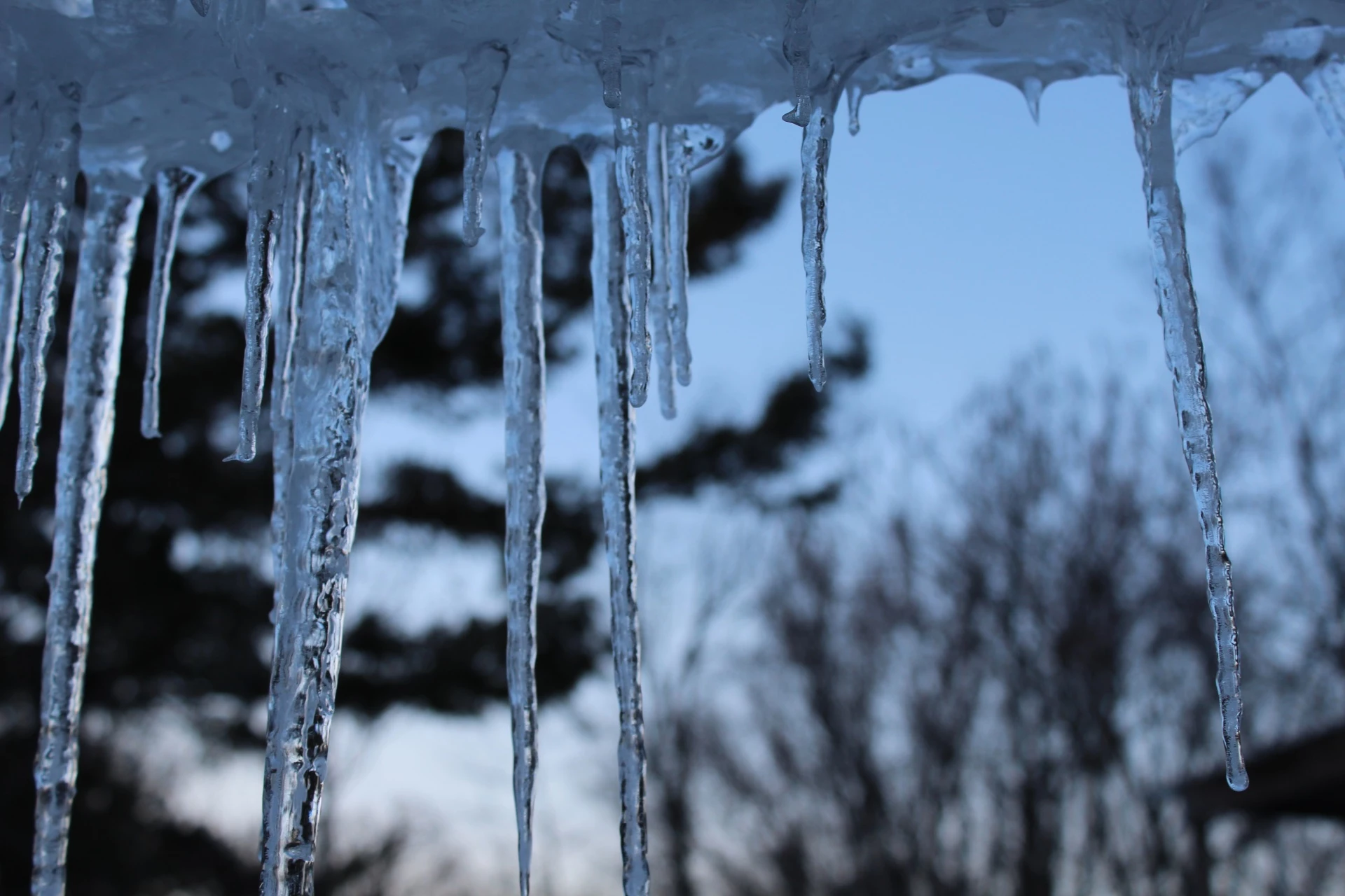
It doesn't take much icy mix to cause a very slick and downright dangerous situation. Travel can become treacherous. And icing on trees and power lines can cause long-duration power outages (especially when combined with strong winds).
Final Drops: Tuesday Afternoon
Eventually, warmer air will win at the surface too, and most of NJ (outside that ice belt to the northwest) switch to plain ol' rain by Tuesday midday. Precipitation should taper off completely from west to east Tuesday afternoon.
Accumulations: Not a Snow Machine
As I mentioned, this really isn't going to be a snow storm. I could see an inch or two of slow snow accumulation away from the coast on Monday. Maybe a bit more (3 inches) in colder NW NJ, depending on the exact orientation of Monday's initial snow band. Generally not enough to plow. And I'm on the fence about putting together a specific snow map at this time.
The ice accumulation forecast is much trickier. Most model solutions paint a quarter-inch to a half-inch of ice accretion/accumulation in northern New Jersey by Tuesday afternoon. Wow, that's a lot - but that prediction is probably overdone. Of course, even if we see only a fraction of that, it would be a very slippery scene.
Again, the best chance for significant icing impacts (up to a quarter-inch) will be along and northwest of the Route 1 corridor. A trace to a tenth of an inch of ice is possible farther south and east. Hardly anything (mainly rain) for the (warmer) immediate coastline.
Impacts: Mixed News for Commuters
Monday morning's commute looks OK. There may be snow falling, with light accumulations on colder surfaces (not on major roadways). But nothing we can't handle with a bit of common sense, patience, and some extra time.
Monday afternoon's ride home will be a bit more treacherous, given the continuing snowfall and growing ice concern.
Tuesday morning's rush hour is a coin flip, as conditions in any given location will depend upon exactly what is falling from the sky (sleet vs. freezing rain vs. rain). There may be school delays and/or closings, especially in northwestern New Jersey.
Tuesday afternoon's commute should be just wet. Maybe some residual icing in far northern NJ.
A Note on Forecast Confidence
No weather forecast is complete without a statement of forecaster confidence — a subjective estimation of how certain we are that a situation will play out as described.
And confidence admittedly stinks here. It is quite low, given the uncertainty over the exact precipitation type at any given time.
We know there's going to be a storm, delivering impacts ranging from wet and yucky to icy and messy in New Jersey. The timeline seems pretty set at this point too. But we do have to keep an open mind about exactly what the storm will drop from the sky hour-by-hour and town-by-town.
Hopefully I've laid out enough info and insight here that you can start to make decisions about your travel plans for Monday and Tuesday. We'll continue to refine these estimates as the storm draws closer. (I am in twice-a-day weather blog mode, with updates planned for Sunday afternoon, early Monday morning, and Monday afternoon.)
What Comes Next
As this snow/ice/rain storm departs, bitter cold will settle over New Jersey starting on Wednesday. High temperatures and wind gusts in the 30s, leading to wind chills in the 20s all day. Thursday morning will be the bottom of the barrel temperature-wise, with lows potentially dipping into the teens along with single-digit wind chills. Ouch!
Our next possible weather-maker is showing up for next weekend, from Saturday 12/21 to Monday 12/23. The GFS model is forecasting a strong coastal storm brushing by New Jersey, with significant snowfall possible. However, the Euro model shows a much weaker, faltering storm system that completely misses the state.
The worst-case scenario here would be double-digit snowfall, right in the middle of the peak Winter Solstice-Hanukkah-Christmas travel season. However, don't go changing your plans yet — let's continue to monitor how this develops, and whether it will be a threat to New Jersey (or anywhere along the U.S. East Coast). We'll have a clearer picture starting around midweek.
Next weather blog update expected by 5 p.m. Monday. Enjoy your Sunday!
Dan Zarrow is Chief Meteorologist for Townsquare Media New Jersey. Follow him on Facebook or Twitter for the latest forecast and realtime weather updates.
More From 105.7 The Hawk


