Tuesday NJ weather: Two days of unsettled weather, scattered storms
The Bottom Line
A storm system to our northeast will be our primary driver of weather over the next couple of day. It will not only bring unsettled weather — clouds and scattered rain — but also a respite from the heat. Don't worry though, heat-lover, as thermometers will be cooking again by the end of the week.
Tuesday
A beautiful morning to start the day, with sunshine and 60s — you can't ask for much more than that here in the summertime. Clouds will increase in the afternoon, with high temperatures averaging lower 80s. (70s NW and coast, mid 80s SW.) That will conclude a heat wave, 4 days of 90+ somewhere in the state.
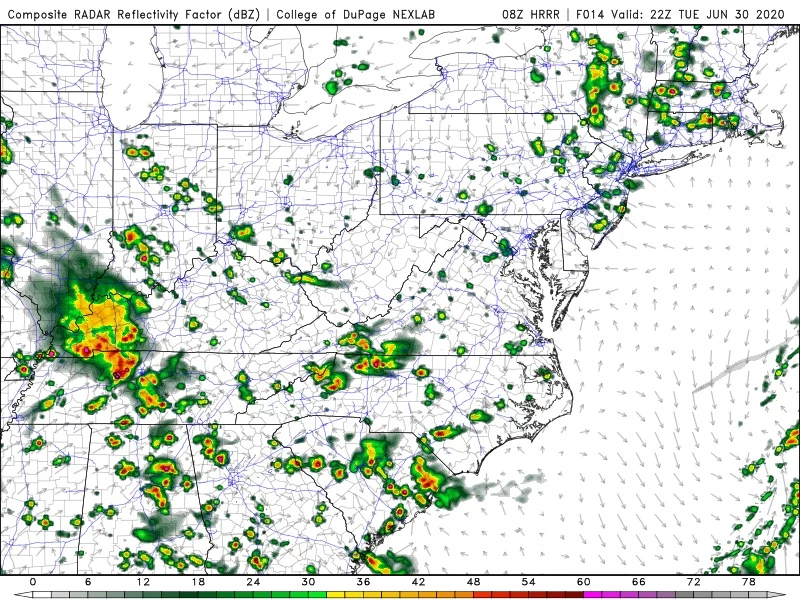
Starting around 1-2 p.m. Tuesday, scattered showers and thunderstorms will drift into northern New Jersey. Those pockets of rain will drift into central and southern New Jersey as the afternoon goes along. While not everyone in the state will taste the much-needed rain today, storm activity looks more widespread than over the weekend. And the best news of all — while there could be pockets of heavy rain (1+ inch), the threat for significant severe weather (i.e. wind, hail, tornado) looks low.
Any showers and storms will pulse down after sunset Tuesday evening. The rest of the night will be partly cloudy and relatively comfortable again, with lows bottoming out in the mid 60s.
Wednesday
That storm system will wiggle even closer to New Jersey, so it will be a similarly unsettled forecast. Mostly cloudy skies will accompany scattered rain and thunderstorms, with high temperatures again in the lower 80s.
Thursday
Sunshine emerges in the morning, and thermometers start cooking again. Highs are forecast to reach the upper 80s to around 90 degrees.
Friday
Downright hot. Lower 90s away from the coast. (The Euro model goes even farther, pumping in mid 90s for interior South Jersey — whew!) Generally hazy and partly sunny, although a popup thunderstorm can't be ruled out (away from the coast).
Saturday
Happy 4th of July! Not bad, especially since we'll lose Friday's ferocious heat. Mostly cloudy skies and a weak on-shore breeze will limit high temperatures to the seasonable lower 80s. There could be sporadic showers around, although the latest forecast models show very limited rainfall around. That's a pretty good news forecast for the holiday.
The Extended Forecast
Long-range models show another warmup into Sunday and Monday, with highs closer to 90 again.
And that'll do it for the day and the week! I am taking a few much-needed vacation days through the holiday weekend, so the CMDZ Weather Blog will take a short hiatus. If anything significant pops up, I'll jump back in with updates on the web, in the app, and on social media. Otherwise, I hope you have a safe, healthy, and relaxing holiday. I'll be back in the weather center on Monday 7/6.
Dan Zarrow is Chief Meteorologist for Townsquare Media New Jersey. Follow him on Facebook or Twitter for the latest forecast and realtime weather updates.
More From 105.7 The Hawk


