
Heat warnings for NJ: Heat index as high as 110° (in the shade)
The Bottom Line
For the next three days, the combination of hot temperatures and thick humidity will put the heat index in "the danger zone" across New Jersey. We face three rounds of thunderstorms along the way, primarily in the evening hours. Sweet relief from sweat and storms will arrive this weekend.
Wednesday
The start of extreme heat and humidity. (The "heat wave" really began on Tuesday, as many spots in southern and central NJ hit 90+ degrees.)
An Excessive Heat Warning goes into effect at Noon Wednesday for the following NJ counties: Bergen, Burlington, Camden, Essex, Gloucester, Hudson, Hunterdon, Mercer, Middlesex, inland Monmouth, Morris, inland Ocean, Passaic, Somerset, Union, Warren
A less-severe Heat Advisory covers the following: inland Atlantic, inland Cape May, Cumberland, coastal Monmouth, coastal Ocean, Salem, and Sussex.
Nothing is currently issued for coastal Atlantic and coastal Cape May counties.
Both the warning and the advisory are set to expire at 8 p.m. Thursday. But there's a very good chance they will be extended through Friday too.
The difference between the warning and advisory is mainly a technical one, due to different heat index and timing thresholds. The story is the same, no matter where in the state you are: It is going to be ferociously hot and humid.
We're starting the day with temperatures in the 70s. In addition, there's some leftover convection clipping North Jersey. A few showers and thunderstorms are possible there through about 8 a.m. Farther south - where it stormed and poured Tuesday evening - patchy dense fog has formed.
High temperatures will reach into the lower 90s across almost the entire state Wednesday afternoon. (The only exceptions will be far NW NJ and the coast, which will likely still see upper 80s.) That number alone doesn't put us in the danger zone.

With dew points in the lower-mid 70s, the air will be thick and stifling with humidity. The math shows the heat index will top out between 98 and 105 degrees across the state. Remember, the heat index goes beyond serving as the "feels like" temperature - it is an important indicator of human health impacts due to severe heat and humidity. That's why this is legitimately "dangerous" heat.
Another friendly reminder: Temperatures (and therefore the heat index) are recorded in the shade - we measure the temperature of the air, not including solar radiation. Direct sunlight can add 20 to 30 degrees to the apparent temperature. Spaces with poor ventilation (like a closed vehicle) are even worse.
You have to use common sense and take care of yourself in such weather. Dress in loose-fitting, light-colored clothing. Stay extra hydrated, avoiding caffeine and alcohol if you'll be out in the heat. Take frequent cooldown breaks, in air conditioning if possible. Try to limit strenuous outdoor activities to the early morning and late evening hours. And do not leave any living thing (like pets or children) in a hot car - not even for a minute.
In addition to the heat, we'll have to watch the western sky for another round of thunderstorms Wednesday evening. Those storms will probably crash across the Delaware River around 5 or 6 p.m.
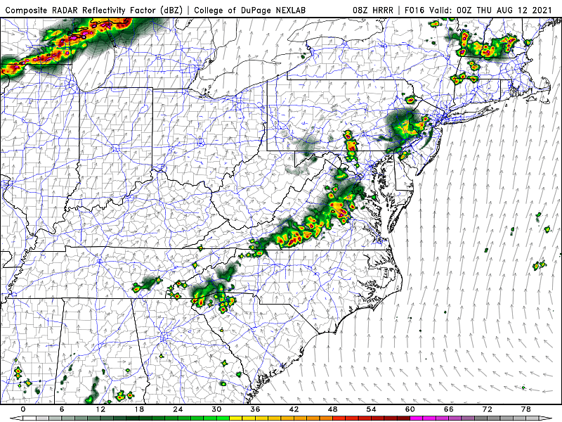
Initial impacts will include downpours and gusty winds. But models suggest any storms will largely break apart and fizzle before reaching the coast.

It's really not going to get "cool" Wednesday night, which exacerbates the effects of a heat wave. Overnight low temperatures will only dip into the mid 70s. It will be partly cloudy. And super muggy.
Thursday
Probably the steamiest day of the heat wave, in terms of heat index.
My forecast puts high temperatures in the lower to mid 90s. That means the heat index could reach into the 105 to 110 degree range.
Look for mixed sun and clouds Thursday. A prominent southwesterly breeze will keep the hot air moving around. (It may cause a "blast furnace" effect though.)
I'll add the chance of another thunderstorm Thursday evening. Especially to the north and west. This round looks pretty isolated.
Thursday night will be pretty suffocating. Urban areas may not drop below 80 degrees.
Friday
Probably the hottest day of the heat wave, in terms of raw temperature.
We may encounter a pocket of slightly drier air on Friday, leading to lower dew points and lower humidity. It's still going to be sticky and steamy. And dry air heats up more efficiently - that's why I think temperatures could creep toward record highs.
Widespread mid 90s Friday will make for one of the hottest afternoons of the summer. Top 5, at least. We'll see plenty of blazing sunshine.
The beginning of the end of this heat wave will come late Friday, as a cold front approaches from the northwest. That will likely spark a round of widely scattered thunderstorms between Friday late afternoon and early Saturday morning.
Saturday
Sweet relief!
It's still going to be pretty hot (very warm, at least). High temperatures on Saturday will probably touch 90 for the 5th and final day in a row. And Saturday morning will still be pretty humid. But a northwesterly breeze will carry in drier air. And that's going to make humidity levels plummet throughout the day Saturday.
By Saturday night, it's going to be comfortable and pleasant. Parts of the state may dip into the 50s by early Sunday morning.
Although my forecast calls for a dry Saturday, there is one model outstanding - the Euro - that paints scattered thunderstorms over New Jersey. I believe it's because of a slower and more potent frontal passage. I prefer the most optimistic, earlier cooldown for now.
Sunday & Beyond
Although I have questions about cloud cover and isolated shower chances, the potential is there for some incredibly nice weather early next week. Sunday, Monday, and Tuesday should all top out around the lower 80s, just below normal for mid-August.
One big wrinkle is the track of Tropical Storm Fred, which is bearing down on the Dominican Republic Wednesday morning. Fred is headed to Florida and the southeastern U.S. next, this weekend into early next week.
Given the rising threat of tropical storms and hurricanes this time of year, and the associated uncertainty, I don't want to get too far into the long-range forecast here.
Dan Zarrow is Chief Meteorologist for Townsquare Media New Jersey. Follow him on Facebook or Twitter for the latest forecast and realtime weather updates.
READ MORE: What's in the infrastructure package for New Jersey?
Gallery Credit: Michael Symons
9 towns in NJ no one has ever heard of
Gallery Credit: Jeff Deminski
More From 105.7 The Hawk


