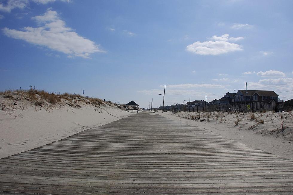
High pressure to keep NJ weather dry, sunny, and pleasant
Cool mornings and warm, sunny afternoons are in the forecast for most of the week, as a lack of significant rainfall continues to raise drought concerns.
Here are your weather headlines for Monday, September 12, 2016...
A Welcome Cooldown
New Jersey entered the second weekend of September with heat and humidity. Saturday actually set records, with high temperatures reaching 92 degrees at Newark and 97 degrees at both Trenton and Atlantic City. While Sunday was cooler - in the 80s - the humidity was certainly still noticeable.
The new workweek is kicking off with a chill in the air. Areas of higher elevation in Warren, Morris, and Somerset counties fell to 45 degrees this morning - I believe that's the coolest of the season so far, and almost chilly! Most of inland New Jersey experienced low temperatures in the 50s, while the Jersey Shore started the day in the 60s.
With high pressure and dry air in control of New Jersey's atmosphere, sunshine will dominate the sky on Monday. Highs will be quite pleasant, mostly in the upper 70s statewide. A few spots may briefly poke into the lower 80s Monday afternoon. Winds will be light and variable, limited to 10 mph or less.
The cycle of dry air will repeat for Monday night and Tuesday. Morning lows will bottom out in the 50s, with Tuesday afternoon's highs forecast to reach the lower 80s under bright, sunny skies.
We Really Need Rain
According to the latest edition of the U.S. Drought Monitor, 82.34% of New Jersey is now "Abnormally Dry". The northeast 11.41% of the state remains in "Moderate Drought".
Unfortunately, the current forecast has no significant rainfall to moisten the soil and fill the reservoirs.
Atmospheric moisture (a.k.a. humidity) will increase a bit on Wednesday. As temperatures climb to near 90 degrees, the heat and humidity will feel pretty summerlike. Clouds will increase subtly on Wednesday, averaging partly sunny across the state.
Our next chance for rain will come late Wednesday into early Thursday, as a cold front sweeps across the state. Even so, rainfall estimates look meager, at best - totaling maybe a quarter-inch if we're lucky.
Long-Range Outlook
By Thursday, we'll see a return to dry air, high pressure, and seasonable temperatures. Both Thursday and Friday look to feature mostly sunny skies and high temperatures in the mid to upper 70s.
The weekend looks warmer, with most temperatures in the 80s on a southerly breeze. Our next cold front is currently pegged for the Sunday-Monday time frame, and that will be our next chance for rain too. It doesn't look like drought-busting rain, but a healthy half-inch to an inch would certainly help matters.
There are currently two tropical disturbances in the Atlantic Ocean. But neither present a threat to New Jersey at this time.
More From 105.7 The Hawk


